CUSP_Watershed_NorthernRegionColorado Wildfire Risk Assessment Portal – Explore wildfire risk in your area with this mapping tool from the Colorado State Forest Service

Maps
-
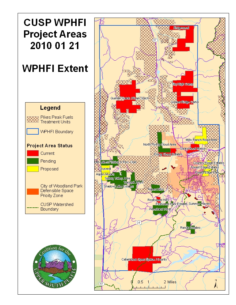
- WPHFI Project Areas
-
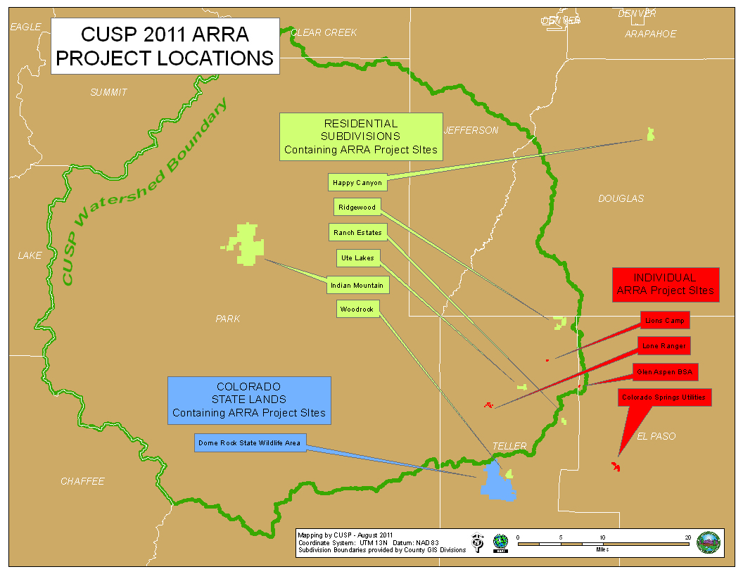
- 2011 ARRA Project Locations
-
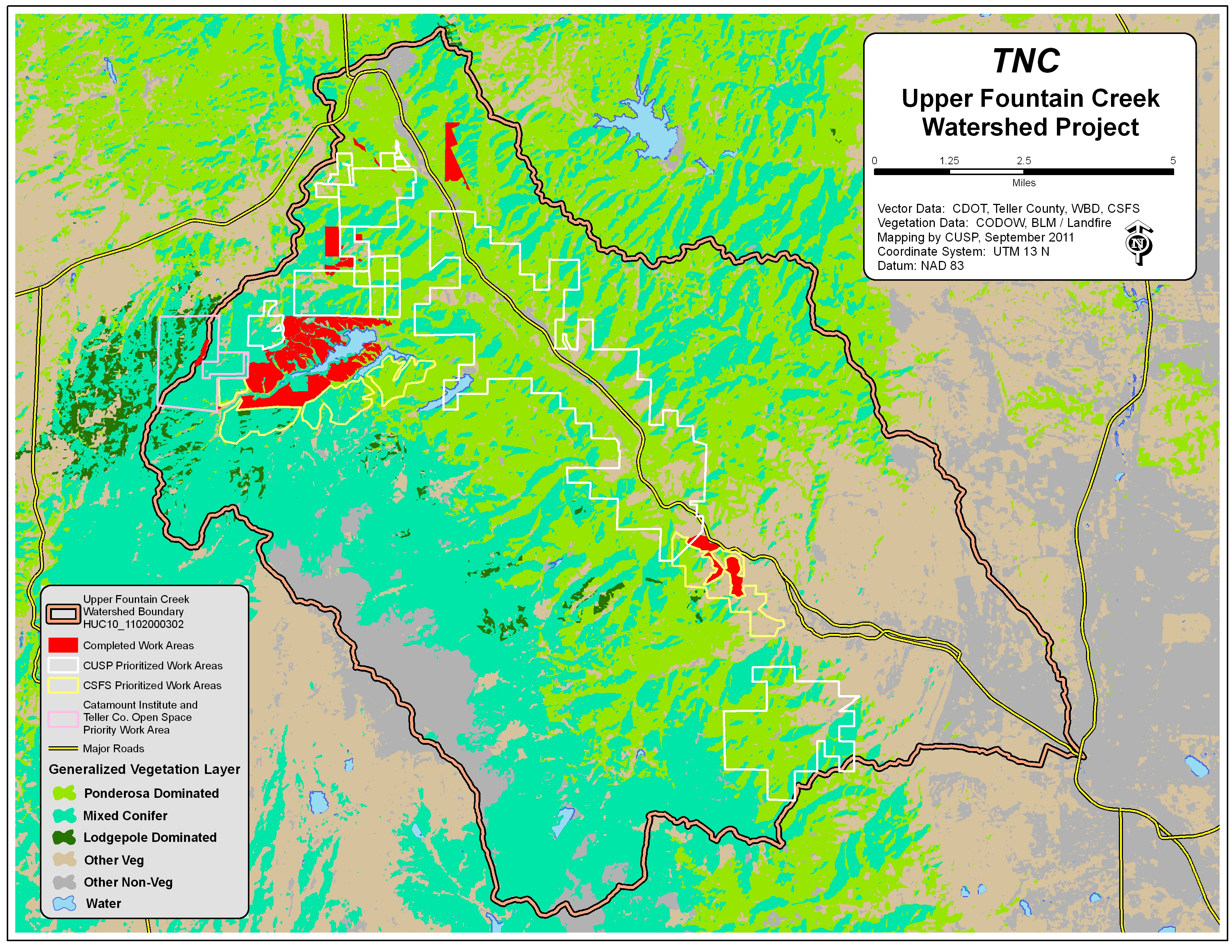
- Upper Fountain Creek Watershed Project
-
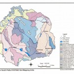
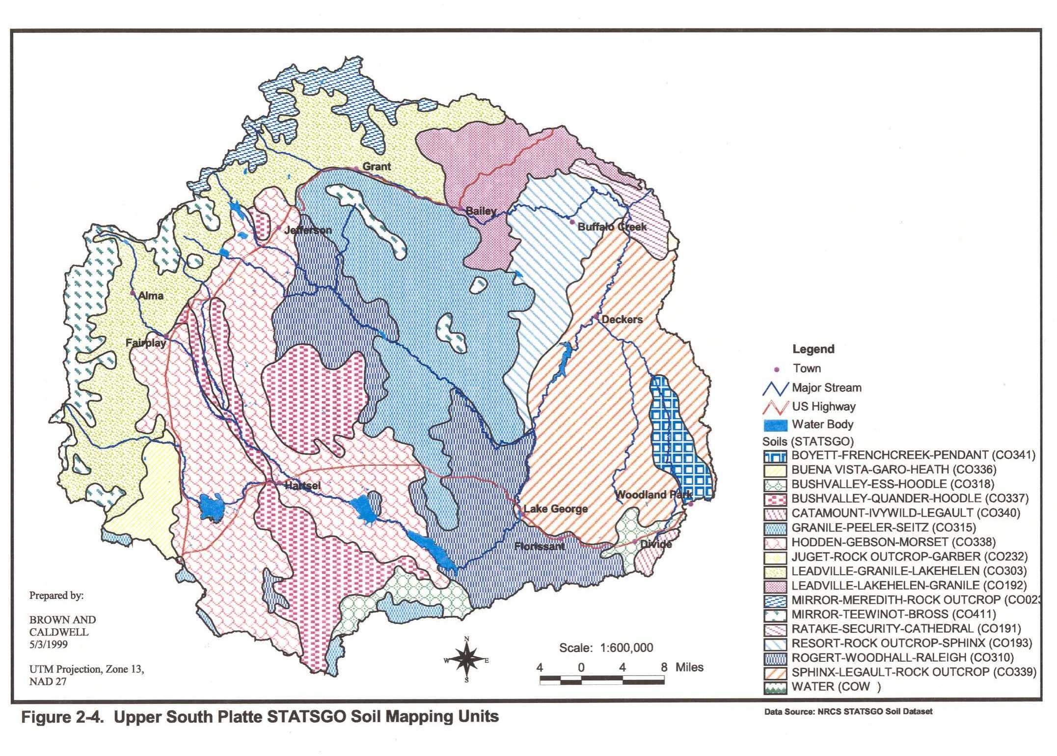
- Soil Composition – Upper South Platte Watershed
-
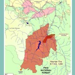
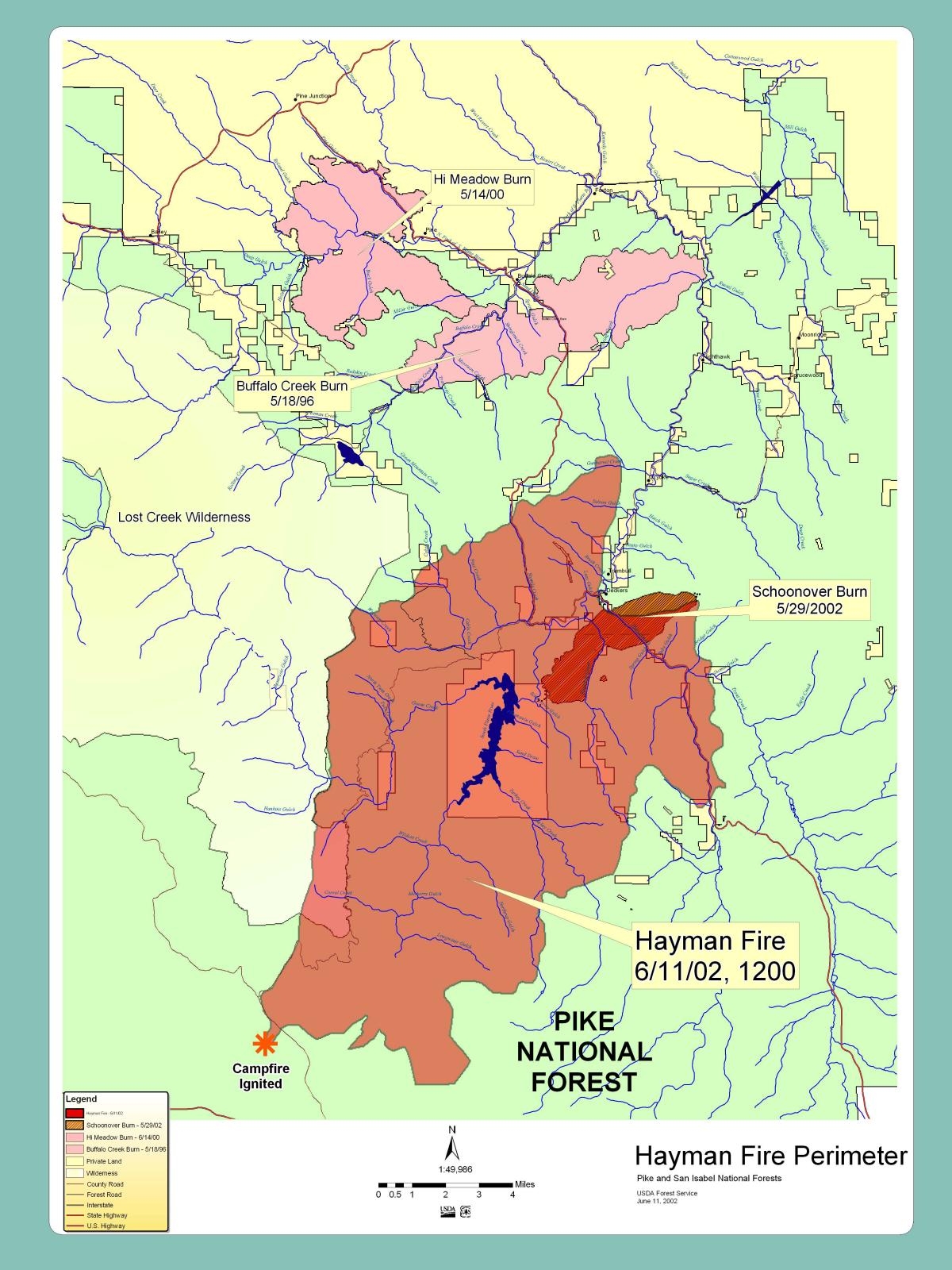
- Historic Large Fires
Fire Adapted Communities Images
-

- FAC Logo

-
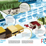
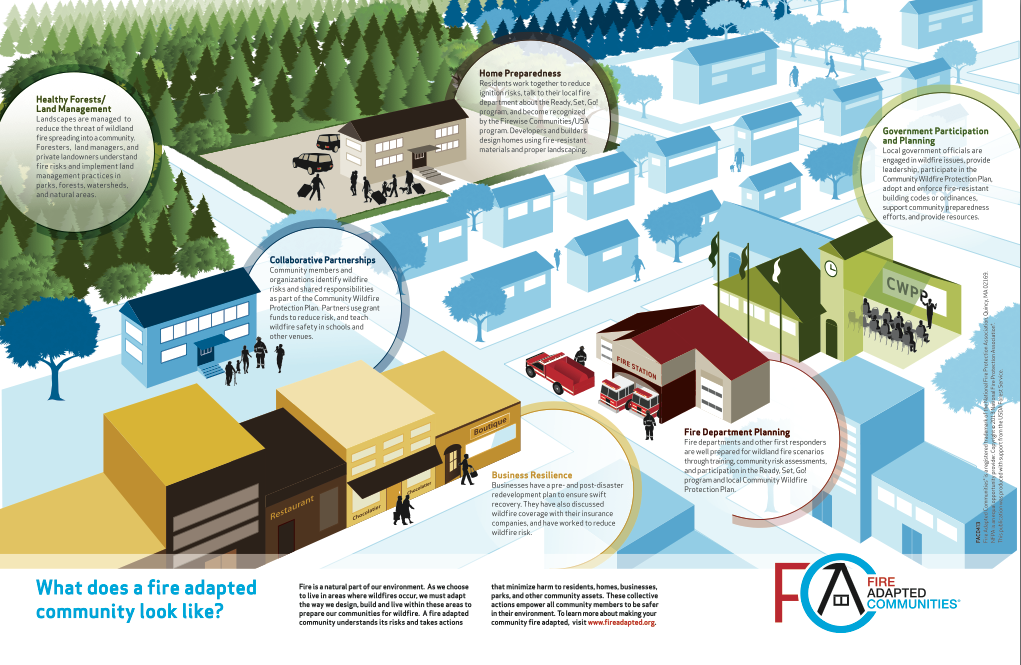
- Fire Adapted Communities Infographic